A small north-west facing bowl and larger north facing slope. The ridge can only be accessed from the air.
Hang gliding is allowed, but there is no suitable top landing.
Communication radio frequency 143.925
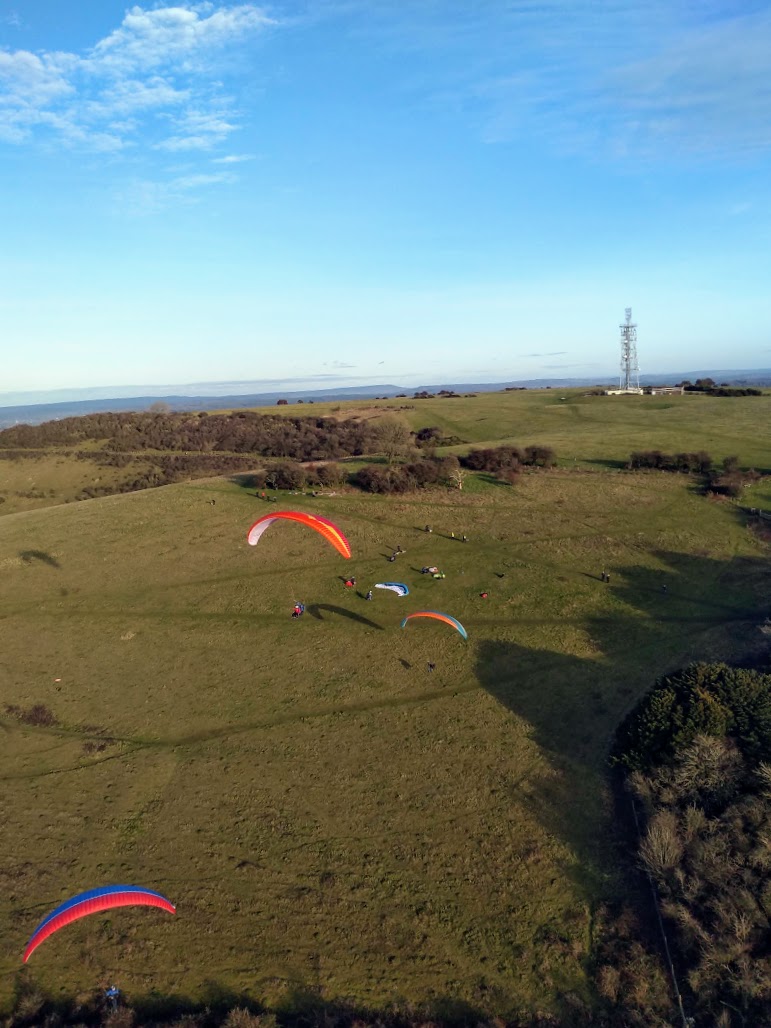
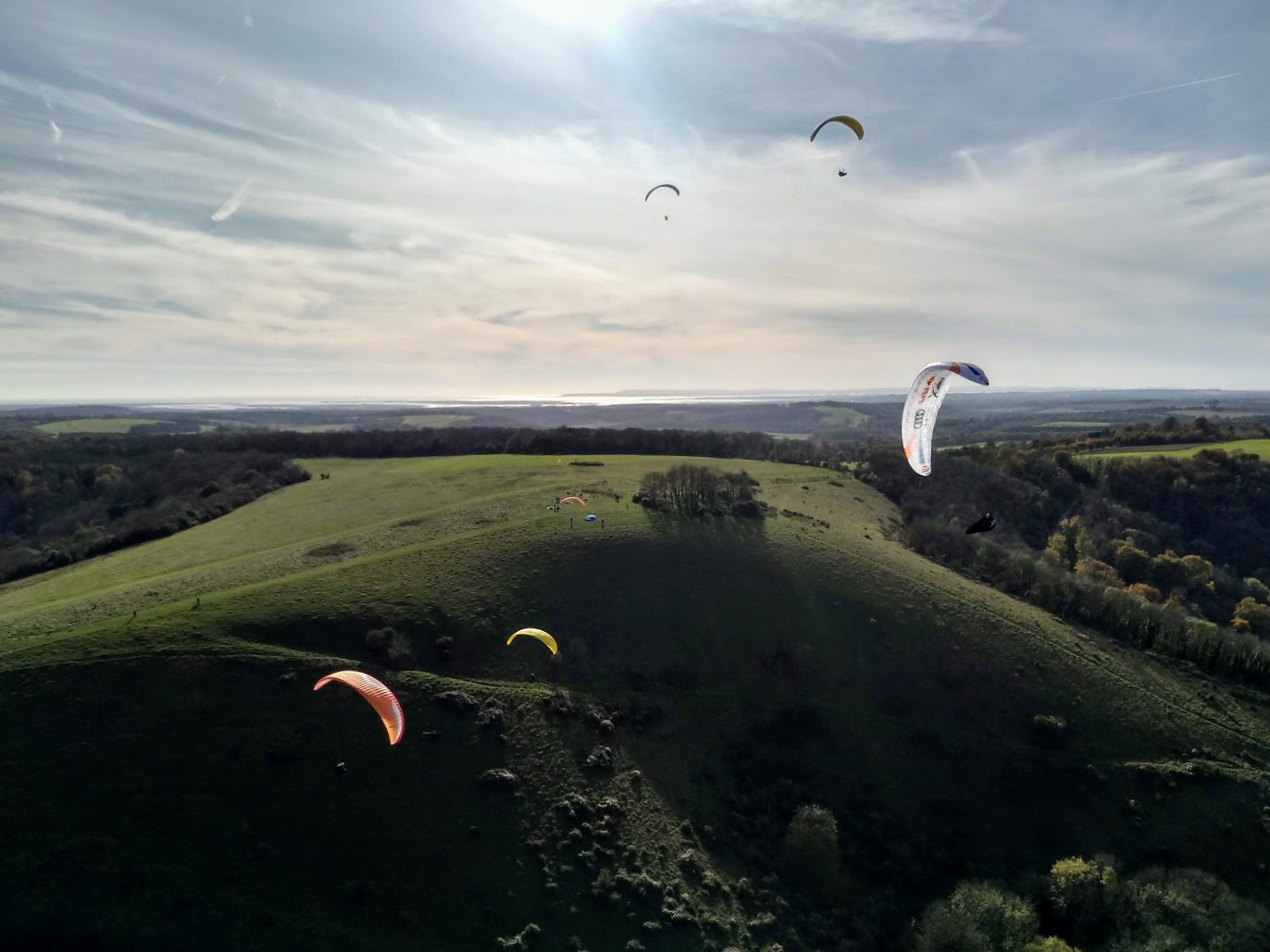
Hang Gliding and Paragliding Club located in the Hampshire South Downs

Site Guides
A small north-west facing bowl and larger north facing slope. The ridge can only be accessed from the air.
Hang gliding is allowed, but there is no suitable top landing.
Communication radio frequency 143.925
Members only!
A steep ridge with an old quarry in the middle (“Vineyard Hole” on the map), multiple obstacles and no sensible bottom landing. You MUST be pilot rated and very confident at slope landing to safely fly this site. Be sure to plan your flight carefully before takeoff – think about how and where you will land if the lift is not good. Be ready to slope land without delay if you lose height. This is a very sensitive site in direct view of the entire village of East Meon. You can and will be watched by many, any time you fly here, and any accidents will attract much attention. On the right day this site can give enjoyable flying for confident pilots, with good XC potential.
It is essential that you join the Park Hill telegram group and get a site brief on the hill before flying this site.
Maximum 6 pilots on the hill at any one time – this is to ensure we do not overload the site, both for safety and in order not to make a bad impression in these crucial early days of using the flying site. Use Telegram to announce your intention to fly at Park Hill, thereby reserving your spot.
Please update telegram when you leave in case others wish to fly that day. Be aware that the site can only accommodate about 4 pilots in the air when conditions are good, two or even one will be the maximum safe number if it is scratchy. If 6 are booked you will need to play nicely and take it in turns.
In the winter the site is closed to us for shooting, from approximately 1st September to 31st January.
Possible air ambulance landing location ///moon.club.zinc
Communication radio frequency 143.925
A clean U-shaped bowl with a long, wooded eastern flank and a smaller copse in the centre of the bowl.
Because Matterley Bowl is within Southampton airspace, there are strict rules for it’s use. This is members-only site and should only be flown once a site induction has been attended, or in the company of a pilot who is familiar with the procedures.
A gentle site for ridge lift, being smooth and fairly shallow. However, it is unlikely to tolerate a great range of wind direction. In stronger wind there is some venturi effect due to the shape of the bowl. Good thermal potential, especially with the high ground immediately downwind. However, cross-country flights are difficult, (see AIRSPACE below). The site is likely to be influenced by sea-breezes on light-wind days as the top of Southampton Water is only 12 miles downwind. The top landing area is restrictive for hang gliders. A bottom landing (if crops permit) and walk out may be preferable. At the present time there is no vehicle access in to the bottom fields. Paragliders will find the hilltop and slope straightforward for launch and landing. There are no bushes or fences to negotiate, but be mindful of the many rabbit burrows and steel posts. A useful site in light conditions for top-to-bottom flights, involving a relatively short carry up.
Possible air ambulance landing location ///bloom.runner.rich
Communication radio frequency 143.925
There is a 200ft AMSL height restriction.
Meon Shore consists of a series of low cliffs that work in an on-shore breeze and offers a fun flying site that is local to many club members. It is an extremely sensitive site and the utmost consideration by pilots on the impact on other beach users is required. The ownership of the land here is unclear but Fareham Council has made it plain that we are tolerated as we make no impact. Pilots need to be aware that we have no formal agreement to fly from the landowners. Effectively this is an unofficial site and pilots are personally responsible for flying here and must deal personally with any incidents that they become involved in.
NOTE: The site falls within the controlled airspace that surrounds Solent Airport (Daedalus). A formal agreement with Solent Airport has been created that allows Sky Surfing Club to fly in the controlled airspace provided a number of criteria are met (see below). The site is strictly members only with no reciprocal agreements in place.
Permission from Solent Airport ATC must be obtained prior to flying here.
Due to the sensitive nature of the site as well as a number of flying accidents and damage caused to the nearby beach huts, it must only be flown by experienced pilots with good launch and landing techniques who are fully aware of the contents of this site guide which outlines the novel techniques needed and hazards of this site.
Please do not overfly the beach huts.
Possible air ambulance landing location ///shaky.overlaid.fuels
Communication radio frequency 143.925
A small west facing slope with a Northwest facing bowl at the southern end. Not a very good thermal or ridge lift slope and difficult to soar in light winds. Any thermal day can be overcome by sea-breezes in early afternoon. Unusable if the wind backs south of west.
NOTE: Pilots must be members of the Sky Surfing Club or one of the clubs the SSC has a Reciprocal Agreement with. Visitors and guests are not permitted.
Possible air ambulance landing location ///bibs.robot.fish
Communication radio frequency 143.925
An excellent training and/or testing slope but a very gentle incline. Can suffer rotor in winds off to the west. A useful alternative slope when the sea-breeze wind shift renders the West site slope unflyable. Slope is subject to scrub regeneration management and will therefore become less useful. Takeoff is right next to the corner of the trees. Soaring this slope is difficult but not impossible.
NOTE: Pilots must be members of the Sky Surfing Club or one of the clubs the SSC has a Reciprocal Agreement with. Visitors and guests are not permitted.
Possible air ambulance landing location ///bibs.robot.fish
Communication radio frequency 143.925
A steep slope with faces towards North and Northeast. Works well in both ridge and thermal lift. On the North slope, turbulence can be generated from the lower central tree lined bowl in strong winds and the Northeasterly slope can be shadowed by Pillow Mound in winds over 14 mph with no tolerance of any easterly strength. Good height gains have been enjoyed by paragliders, but down wind cross country is limited by proximity of coast, from which sea breezes can kill flying by mid afternoon.
Possible air ambulance landing location ///bibs.robot.fish
Communication radio frequency 143.925
NOTE: Harting is strictly Members-Only, (no Reciprocals).
Part of the South Downs and owned by the National Trust (NT), the Club has a formal Licence to fly this site.
A steep northerly ridge including three main bowls. A reasonable thermal site, though often effected by sea-breezes on light wind days. Will take a lot of east and beyond Beacon Hill becomes more NNE. A ridge run of 8km, to Cocking and beyond is possible.
Possible air ambulance landing location ///once.chill.chess
Communication radio frequency 143.925
An east facing hill overlooking a railway line with restricted top and bottom landing areas that make this more suited to Paragliders. The site is a short walk with limited roadside parking. There is no farmer imposed restrictions on numbers but is only available from February through September. Should provide cross country potential and being our most easterly Paragliding site enjoys therefore the greatest distance before airspace restrictions are encountered. There is no bowl like Whitewool and Mercury so takes less north.
Possible air ambulance landing location ///drag.tweed.exhaled
Communication radio frequency 143.925
Also known as Wether Down.
An east facing ridge of approximately 1.25 kilometres with a bowl at the south end, shallowing to the north but soarable for its full length. An excellent thermal site but potential dulled by the proximity of restricted air space (Southampton CTA/CTR) only 2 miles downwind. Farm buildings to the north generate the house thermals. Good thermal days can be overcome by sea-breeze in mid-afternoon.
Link to pay Daily Fee – click here: Site fee
Possible air ambulance landing location ///clubs.most.handlebar
Communication radio frequency 143.925